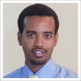
 Yafet Birhanu
 BSc, MSc
Yafet is graduate of Applied Geology (BSc) and GIS and Remote Sensing (MSc) with 8 years of experience in the mining and exploration industry. He has started his career as an exploration geophysicist in different mineral exploration projects. He then has worked as a geologist, cartographer, GIS specialist in a number of projects.
His recent experience is mineral resource modelling and estimation on shear hosted orogenic gold deposit at ASCOM Mining Ethiopia. He has strong experience of modelling structurally controlled stock work veins. His experience has made him familiar with different types of spatial data formats and data preparation methods. Yafet can work with a number of GIS, Remote Sensing, Modelling and Estimation software products.
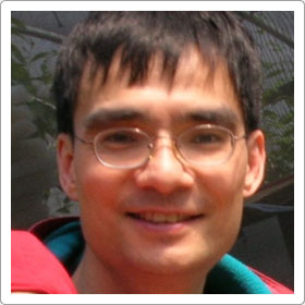
Michael Gipp
BSc (Hons), MSc, PhD, P. Geo.
Michael is a marine geophysicist and sedimentologist with broad experience in seafloor mapping, basin analysis, marine placer exploration, and indicator mineral train analysis. Early in his career he developed methods for determining 3D subsurface structural orientation data from 2D data sets (seismicprofiles) and demonstrated the correlation between depositional geometry of recent sediments and grain-size/geotechnical parameters and a quantitative linkage between the geometry of basin-filling units and the relative importance of depositional mechanism as deduced from numerical dissection of grain-size measurements from borehole samples.
In addition to extensive geological and oceanographic work in the Arctic, North Atlantic and Southern Oceans, Michael has nearly 20 years experience in exploration for diamond deposits in North America and northern Europe, and gold and industrial mineral deposits in West Africa. These projects covered gold projects in greenstone belts in Sierra Leone and Ghana, and current exploration for marine alluvial deposits on the continental shelf of Ghana.
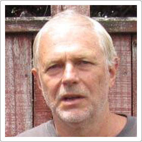
Paul Hooykaas
BSc
After gaining a BSc at Otago University Paul completed the requirements for registration as a Land Surveyor. In 1980 he headed overseas and worked in Samoa, Holland, Germany and Algeria. The latter part of this trip provided a somewhat forced introduction to computer programming. This developed into a career change and, on returning to New Zealand he was employed by Geometra, to develop in-house software for the processing and plotting of land seismic surveys. At the end of 1984 Paul transferred from New Plymouth to Perth, where there was a greater emphasis on offshore survey work.
In 1986 Paul was one of the founding staff members of a new company, called Micromine. Micromine was established by Graeme Tuder (a partner in Geometra) and its purpose was to develop PC based software for the exploration mining industry. Initial coding was on one of the first IBM PCs, using a newly released programming tool, “Microsoft C”.
Today Paul still works for Micromine, now a multi-product company servicing over 12,000 clients in 90 countries. It has offices in all the world’s major mineral producing countries. Paul’s role within the company has changed over the years, but has always been predominantly technical.
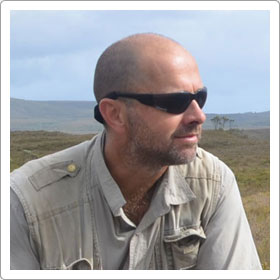
Alistair Reed
BSc, PhD, MAIG
Dr Alistair Reed is a partner in Schoer, Reed and Associates, is the principal of Metalstocks Australia and the CEO of Paragon Resources. He has more than 20 years experience in the mineral exploration and mining industry in technical and operational management responsibilities with private and ASX-listed explorers as well as government. Alistair was co-founder and Executive Director of Pluton Resources Ltd from 2006 until 2010. Pluton listed on the Australian Stock Exchange (ASX:PLV) and in 2007 was named by Business Review Weekly as its top new float for that year. His role as technical director took Pluton from early exploration to advanced resource definition and into pre-feasibility. Alistair believes in innovative exploration. He is the inventor of a Universal Drilling Platform (UDP), a machine used for drilling that won Pluton Resources the coveted Golden Gecko Award for environmental excellence in Western Australia . This device reduced regulatory work program approval times, reduced rehabilitation costs and made otherwise inaccessible sites accessible for drilling.
He has a PhD in Geology from the University of Western Australia and am a Member of the Australian Institute of Geoscientists (AIG).
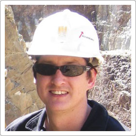
Ron J. Reid
BSc (Hons), Grad. Dip (GIS), MAIG
Ron is currently the Group Resource Geologist for Harmony Gold SE Asia where he is involved in working with the Technical Services department, assisting in modelling, analysis, training and oversight.
He has a background in structural geology with a specific interest in the relationship between structure and mineralisation. He has significant experience in prospectivity analysis using GIS and combining this with basic geology in all its forms to develop deposit models, resource models and exploration targets. Ron has 17 years’ experience in the mining industry with a broad based background in exploration (greenfields and brownfields), mining (open pit and underground) and resource estimation and has worked in a range of commodities. His career that has seen him exposed to many different software packages has led to various levels of proficiency in numerous modelling, GIS and mining software packages, including Leapfrog, Micromine, Surpac, Vulcan, Datamine, Isatis, ArcGIS and MapInfo-Discover.